



Verdon Route des Crêtes: the ultimate scenic drive
Gorges du Verdon
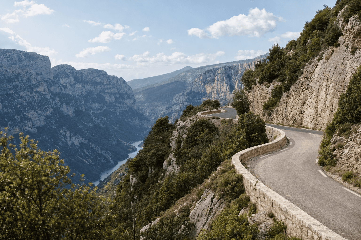
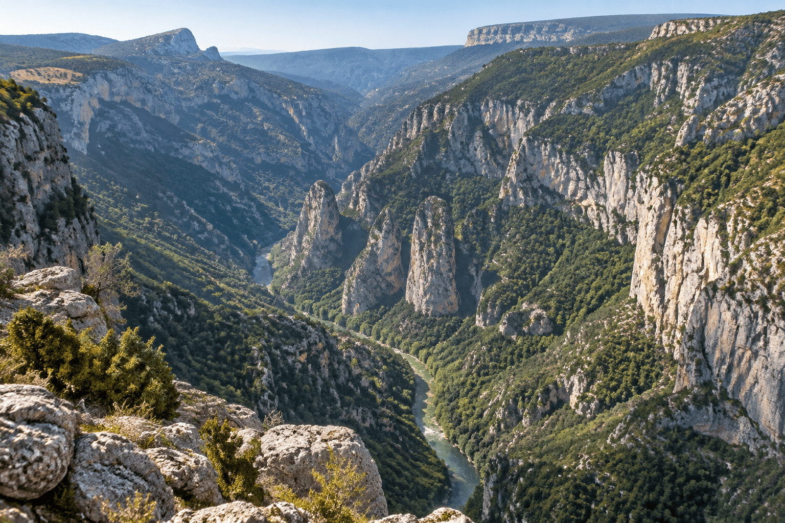
The Verdon Route des Crêtes offers one of the best ways to take in the Grand Canyon du Verdon. From La Palud-sur-Verdon, the D23 climbs along the right bank and connects several viewpoints overlooking the limestone cliffs, gorges, and Provence plateaus. This outing is best enjoyed slowly, with time set aside for stops rather than simply trying to complete the loop.
Practical information
Use only designated areas when stopping, and do not set out with an almost-empty tank: services are limited in the higher areas. Bring water, a jacket, and closed-toe shoes for access to the viewpoints.
Getting to the Verdon from Paris
Booking Paris Transfer can explore private transportation from Paris, the Île-de-France region, CDG or ORY to La Palud-sur-Verdon and the Gorges du Verdon. The journey may include a return to Paris or form part of a Provence itinerary. The service covers transportation and driving; any visits, activities, and tickets must be arranged separately.
Departure from Paris, the Île-de-France region, CDG or ORY. Route, duration, and availability to be confirmed based on your itinerary.
Understanding the Route des Crêtes
The Route des Crêtes follows the heights of the right bank of the Grand Canyon du Verdon, in the La Palud-sur-Verdon area. It is generally described as a loop of about 23 kilometers, but the actual distance covered depends on the open route, any restrictions, and the detours you choose.
The road alternates between wooded sections, cliffs, and views over the canyon. It is not simply a road connection: some bends are tight, the road is shared by cars, motorcycles, and bicycles, and several stops are worth taking time to enjoy.
From La Palud-sur-Verdon, follow the D23 and the signs for the Route des Crêtes. Since traffic direction and the opening of certain sections may vary, check the local signs before entering the loop.
Viewpoints and scenic stops
The viewpoints do not all have the same access conditions. Some are close to the road or a developed parking area; others require a short walk. Names commonly associated with the Route des Crêtes include the Trescaïre viewpoint, the Carelle viewpoint, the Escalès area, Dent d’Aire, Gorge de Guègues, the Maugué viewpoint, and the Glacières viewpoint.
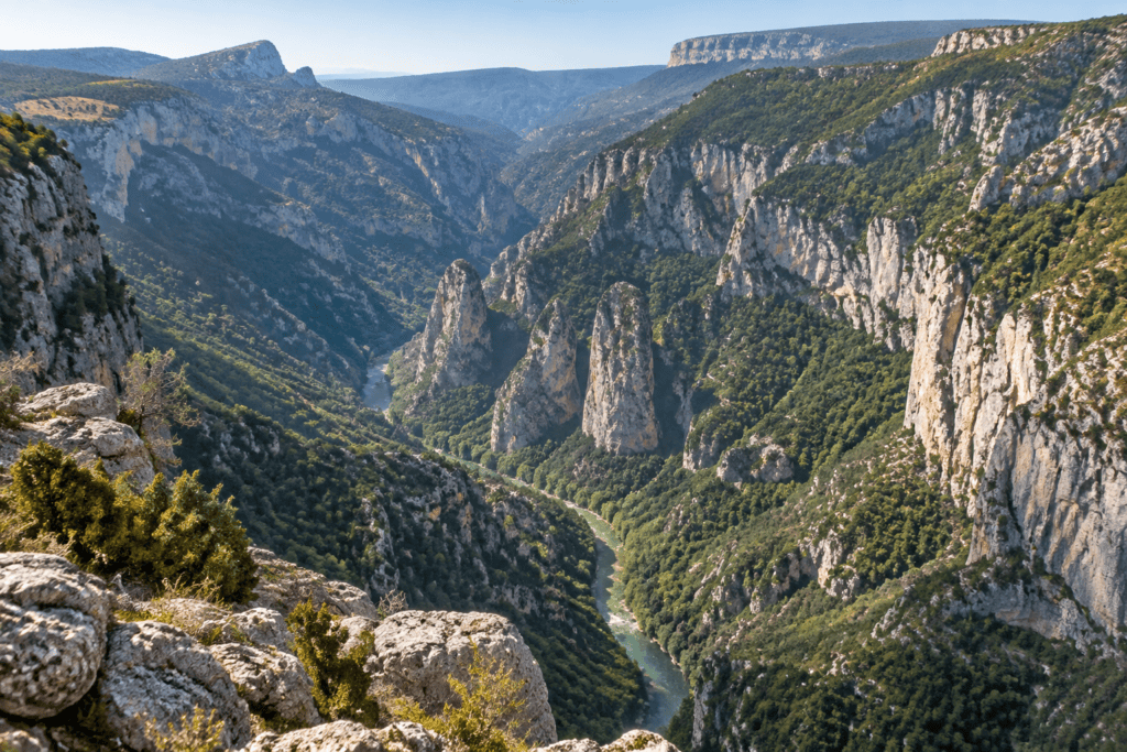
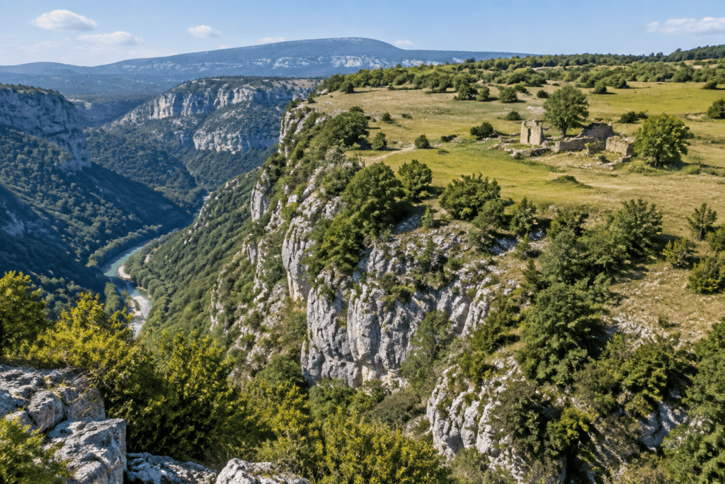
La Carelle and Escalès offer striking views of the canyon walls and climbing areas. Dent d’Aire opens up broader views of the landscape, while Trescaïre and Pas de Baou reveal the depth of the gorges. Visibility, however, depends heavily on the weather and light.
The Chalet de la Maline is primarily a landmark for hikers, particularly those accessing the Blanc-Martel Trail. It should not be mistaken for a simple scenic stop: a hike from this area requires separate preparation, appropriate equipment, and a prior check of trail conditions.
Car, bike, or motorcycle: which should you choose?
A car is the most practical way to visit several viewpoints during the same outing. Drive carefully through blind bends and stop only in designated areas. Wide vehicles may be less comfortable on a narrow, winding road, so check any posted restrictions before setting out.
Cycling lets you experience the terrain and surroundings more fully, but the route includes significant climbs and descents. Elevation gain and conditions vary depending on the traffic direction and the open route. An up-to-date cycling map, favorable weather, and sufficient range are essential; electric assistance makes the climbs easier without removing the demands of braking and sharing the road.
A motorcycle is suitable for a mountain route provided you adjust your speed. On foot, the road is mainly suitable for short walks around the viewpoints. For a longer hike, choose a marked trail and check its distance, difficulty, and accessibility separately.
Season, weather, and route access
The Route des Crêtes does not have the same access conditions year-round. A seasonal or temporary closure may affect an exposed section, particularly in the event of snow, ice, roadwork, or specific hazards. Since dates and arrangements may change, check the latest information Verdon Tourisme as well as local road signs before setting out.
Fog can hide the views, while wind and temperatures may differ significantly from conditions in the village. In rain, freezing conditions, or severe weather alerts, it is better to postpone the outing than to continue on an exposed route.
Mornings are often pleasant for photography and make it possible to start before the summer crowds arrive. Some areas remain cool in spring; in fall, the light changes quickly and the days grow shorter. Always allow extra time to finish the route before dark.
Safety on the road and at the viewpoints
The viewpoints are in rugged surroundings. Stay behind barriers where they are provided, watch children closely, and do not cross protective barriers to take a photo. Rocks can be slippery, and some edges are unprotected. Closed-toe shoes are recommended as soon as you leave the parking area.
On the road, follow the indicated traffic direction, speed limits, and designated stopping areas. Never stop in a bend or narrow passage. Cyclists should anticipate descents and remain visible; drivers should leave enough space when passing.
Cell service can be unreliable in the gorges. Charge your phone, bring water, and let someone know if you are setting out by bike or on foot. In an emergency, call 112 and identify the viewpoint or road section as precisely as possible.
Landscapes, geology, and wildlife
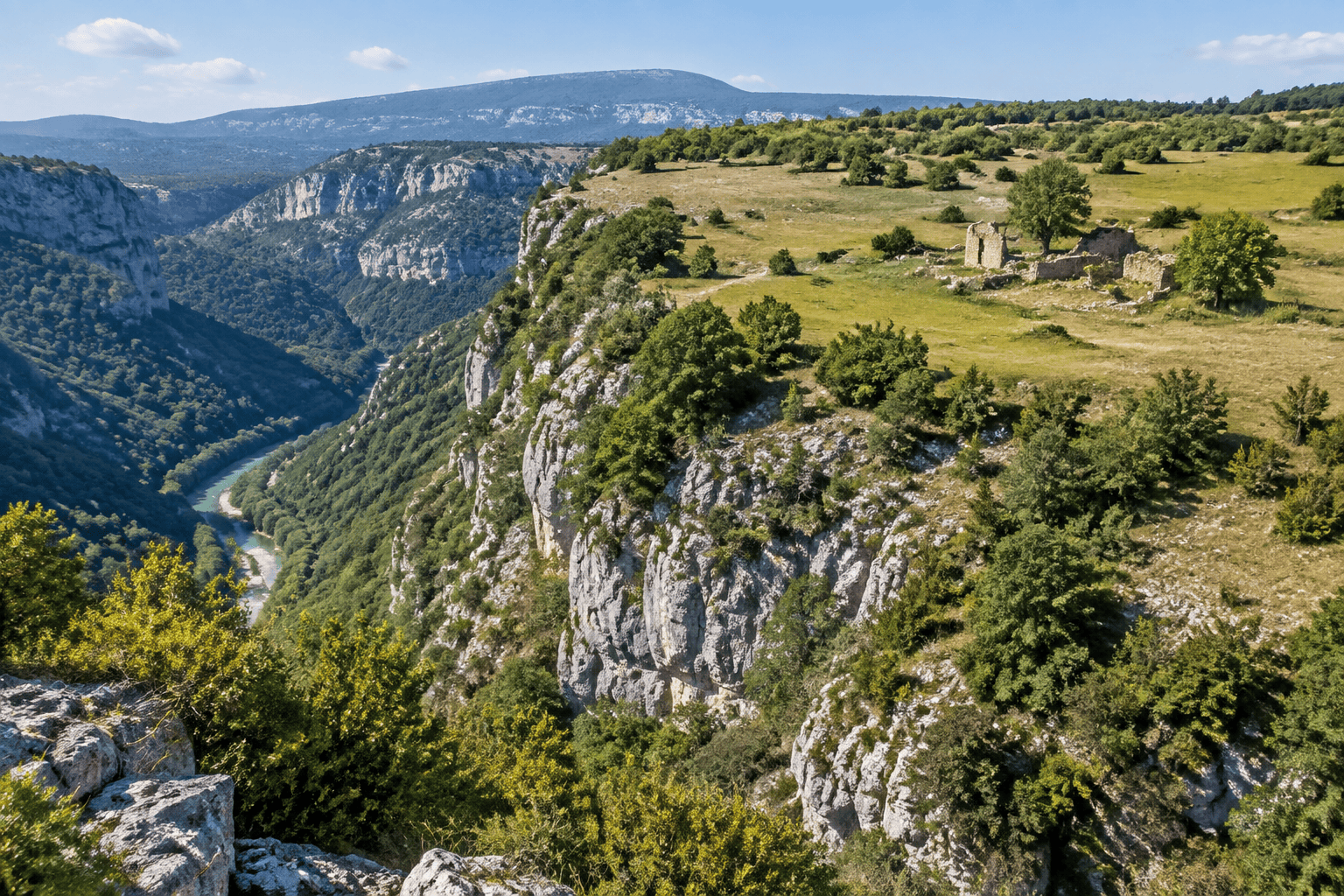
The road offers a chance to observe the geology of the Verdon: limestone cliffs, fissures, ledges, and vertical walls bear witness to the work of erosion. The forests and plateaus surrounding the canyon change how the terrain is perceived from one stop to the next.
Vultures may be seen above the cliffs, though their presence is not guaranteed. Use binoculars or a telephoto lens, keep your distance, and never feed the animals.
The Escalès area is also associated with the history of climbing in the Verdon. Respect the trails, any restrictions, and temporary closures that may be related to nesting, wildfires, or safety.
Planning a day around the Verdon
The Route des Crêtes can be combined with La Palud-sur-Verdon, Rougon, or Point Sublime, provided you allow for driving times and the loop’s actual opening status. Lac de Sainte-Croix and Moustiers-Sainte-Marie can round out a stay, but it is best not to pack in too many stops on the same day if you want to enjoy the viewpoints.
For a well-balanced half-day, choose a few stops, check traffic conditions, and leave time for unexpected delays. The Blanc-Martel Trail should be planned separately, with the route, return transportation, and trail conditions checked in advance.
The Verdon is a long journey from Paris. Booking Paris Transfer can explore private transportation departing from Paris, the Île-de-France region, or the airports CDG and ORY, with a return to Paris or onward travel as part of a Provence itinerary. This service covers transportation only; any visits, activities, and tickets must be arranged separately.
Useful sources
Frequently Asked Questions
How long is the Verdon Route des Crêtes?
How much time should I allow?
Is the Route des Crêtes one-way?
Is the Route des Crêtes open in winter?
Can you cycle the Route des Crêtes?
Which viewpoints should you prioritize?
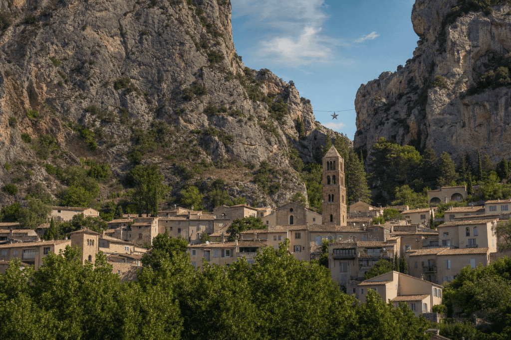 Moustiers-Sainte-Marie A spectacular Provençal village nestled between two cliffs, known for its narrow streets, faience pottery, and panoramic views…
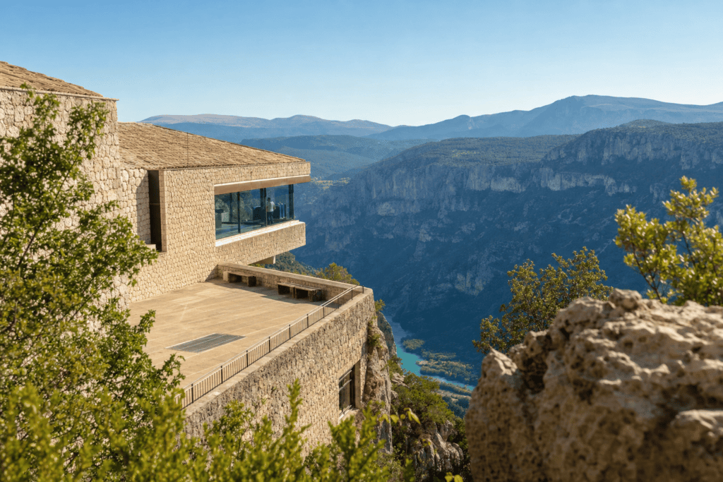 Verdon Gorge Prehistory Museum In Quinson, a museum dedicated to the Prehistory of Provence, featuring archaeological collections, family programs, and…
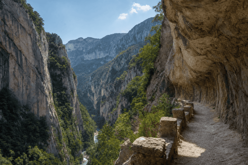 Sentier Blanc-Martel A spectacular one-way hike through the Gorges du Verdon, with stairs, tunnels, and technical sections. Prepare…
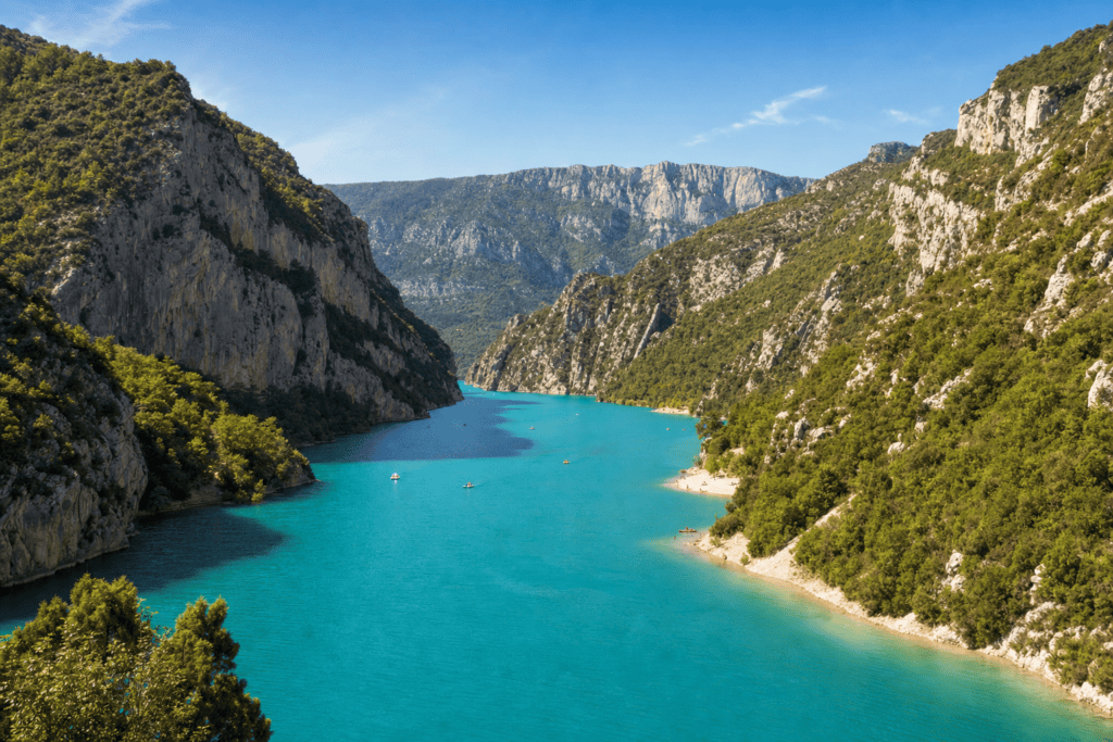 Lake Sainte-Croix A vast turquoise lake at the gateway to the Verdon Gorge, ideal for swimming, paddleboarding,…
Online booking · Paris → Main access from La Palud-sur-Verdon via the D23. Follow the local signs to the Route des Crêtes and check locally which section is open and which direction traffic is moving before setting out.
Choose your pickup date and time
Your departure and arrival details are already pre-filled. You can adjust them in the fare calculator before viewing the vehicles and fare.