



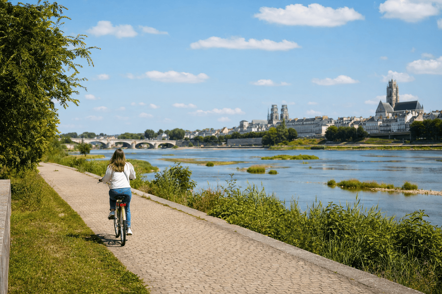
Cycling Along the Loire in Orléans
Orléans
Orléans is especially enjoyable to explore by bike or on foot along the Loire. From the redesigned quays in the city center, the route quickly opens onto islands, sandbars, bridges, and the landscapes of the Loire Valley. A bike ride along the Loire in Orléans can remain urban and leisurely, or continue toward Saint-Jean-le-Blanc, Saint-Denis-en-Val, Saint-Hilaire-Saint-Mesmin, Combleux, or Jargeau, depending on your time and equipment.
Practical information
Check the official Orléans Métropole map or the Geovelo app before you leave. For a family outing, choose a short loop with a break by the water rather than an overly ambitious out-and-back route.
Traveling from Paris to Orléans by private car service
For a getaway along the Loire, Booking Paris Transfer can arrange private transportation from Paris, a Paris hotel, Charles de Gaulle Airport, or Orly Airport to Orléans, followed by a return trip to Paris. The service covers transportation only: bikes, rentals, tours, and any reservations must be arranged separately.
Pickup is available from Paris, the Île-de-France region, CDG or ORY, with a return to Paris or inclusion in an itinerary departing from Paris.
Why explore the Loire by bike in Orléans?
Orléans offers a particularly pleasant way to experience the Loire: the river runs through the city without being confined to a purely urban landscape. From the quays, just a few pedal strokes take you from the historic center’s façades to open riverbanks, islands, and flood meadows. The ride lets you observe the river’s changing character without focusing on athletic performance. You move at the pace of the bridges, barges, birds, and changing light on the water. The Loire quays, redesigned as a greenway in the heart of the city, are an easy starting point for a first outing. Cyclists can then extend their trip to Parc de Loire or join the marked La Loire à Vélo routes. On foot, the same area is ideal for a contemplative walk, with regular views of the opposite bank and the Loire Valley landscape.
Which route should you choose from central Orléans?
For a first introduction, start near central Orléans and make your way to the Loire quays before following the river toward Thinat Bridge and Parc de Loire. The official Orléans Métropole map shows several options, including a loop of about 12 kilometers between Quai du Roi, Parc de Loire, and the Bois de l’Île nature reserve. This distance is indicative: check the exact route, detours, and any changes before setting out. Visitors looking for a longer outing can follow the La Loire à Vélo route through the metropolitan area, advertised as approximately 22 kilometers between Saint-Hilaire-Saint-Mesmin and the Parc de Loire area. Another option is to head toward Combleux along Quai du Roi, then continue toward Chécy or Bou by combining the Loire and the Orléans Canal. For a walk, simply use the quays and the areas around the bridges as your main route.
The quays, bridges, and best viewpoints
The quays of Orléans are the best place to immediately feel the river’s presence. They offer open views of the water and the various crossings linking the two banks. George V Bridge, recognizable by its metal arches, creates an iconic setting when viewed from the riverbanks. Farther east, Thinat Bridge marks another section of the promenade and provides access to the Parc de Loire area. To the west, Pont de l’Europe accompanies routes toward Saint-Pryvé-Saint-Mesmin and Saint-Hilaire-Saint-Mesmin. Take time to stop rather than riding continuously: the scenery changes with the river level, season, and light. Sandbars and islands provide shelter for many birds, but they are not always accessible. Stay on the paths and observe wildlife from a distance, especially during sensitive nesting periods.
Continue toward Parc de Loire and the islands
Parc de Loire, in Saint-Jean-le-Blanc, is a natural extension of the ride from Orléans. This large urban nature area gradually takes you from the quays’ built-up surroundings to paths, meadows, and more open views of the river. The metropolitan cycling map offers a route linking Quai du Roi to Parc de Loire via Thinat Bridge, with a continuation toward the Bois de l’Île area. This route is appealing to visitors who want to spend half a day by the Loire without venturing too far from the center. However, check the surface type and expected traffic for your bike, as not all sections offer the same level of comfort. A picnic break can be enjoyable, provided you respect the natural areas and take your trash with you. Any seasonal shuttles or services offered in the area should be confirmed with local sources before your visit.
Toward Saint-Hilaire, Meung-sur-Loire, or Jargeau
Cyclists looking for a more ambitious excursion can extend their day along La Loire à Vélo. To the west, the route reaches Saint-Pryvé-Saint-Mesmin and Saint-Hilaire-Saint-Mesmin before continuing toward Meung-sur-Loire. The official La Loire à Vélo website presents a route of approximately 20 kilometers between Orléans and Meung-sur-Loire, including Pointe de Courpain and the meeting point of the Loiret and Loire rivers. To the east, an official suggestion indicates a route of about 20 kilometers to Jargeau, suitable for discovering the natural landscapes of the Loiret. These distances are route ideas, not a promise of the same duration or difficulty for everyone. Before setting out, plan your return: trains, regional buses, organized transfers, or the reverse route may be subject to specific conditions for bikes. For a hassle-free outing, choose a reasonable out-and-back section and leave time for breaks.
Practical tips for a comfortable ride
A well-maintained bike, water, sun protection, and working lights are generally enough for an introductory outing, but your equipment should match the distance you choose. A helmet is strongly recommended, especially for children, and may be required in some organized settings. Bring a small repair kit, as available services may not be located close to the riverbanks. The metropolitan area provides a map of its cycling network and recommends Geovelo for planning a route based on bike type, speed, and desired level of safety. Routes may change due to construction, flooding, roadwork, or local events, so check official information on the day of departure. On shared quays, slow down near pedestrians. On roads shared with cars, follow the signs and make sure you are visible. In extreme heat or wind, shortening the loop is often the best choice.
Planning a walk or family outing
The Loire is also ideal for exploring on foot. A walk along the quays lets you enjoy the bridges, historic façades, and views of the sandbars without preparing for a long hike. For families, the best option is a short out-and-back route from the center, with a break in an open, easy-to-identify area. Children will get more out of an outing filled with observations: spotting birds, comparing the bridges’ arches, watching boats, or looking for signs of changes in the water level. On a bike, plan regular breaks and avoid turning the day into a simple mileage goal. Strollers and heavily loaded bikes may be less comfortable on some surfaces or shared paths; check the detailed route before setting out. Finally, the Loire remains a natural river: stay away from unstable banks, do not go onto islands unless access is clearly authorized, and pay particular attention to children near the water.
Frequently Asked Questions
Is the bike ride along the Loire in Orléans suitable for beginners?
What distance should you choose for a first outing?
Can you take this walk on foot?
Do you need to reserve or rent a bike in advance?
How do you get to Orléans from Paris for this getaway?
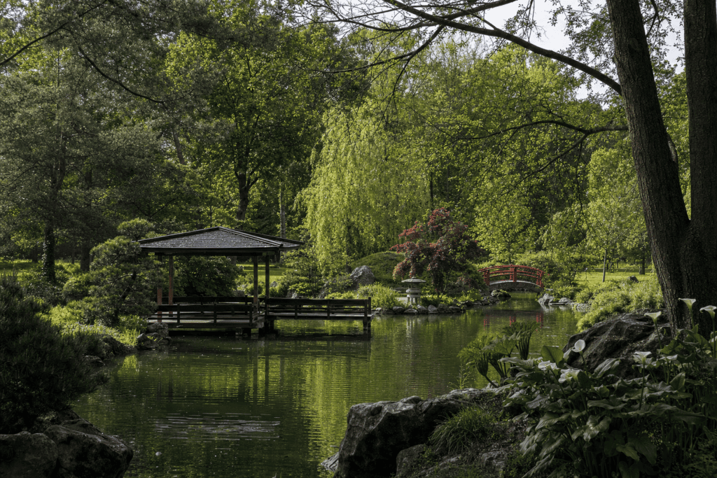 Parc Floral de la Source A large landscaped park in Orléans where gardens, animals, butterflies, and the source of the Loiret create a pleasant outing…
 Orléans Historic Center and Rue de Bourgogne A walking loop between Place du Martroi, Rue de Bourgogne, Le Châtelet, the…
 Sainte-Croix Cathedral of Orléans A major Gothic cathedral in Orléans, known for its stained-glass windows dedicated to Joan of Arc and its distinctive silhouette…
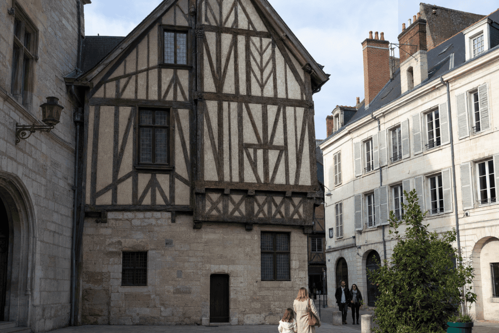 Joan of Arc House An accessible museum exploring Joan of Arc’s stay in Orléans, the 1429 siege…
Online booking · Paris → Loire Quays, 45000 Orléans, France
Choose your pickup date and time
Your departure and arrival details are already pre-filled. You can adjust them in the fare calculator before viewing the vehicles and fare.