



Visiting the Cotentin Marshes from Sainte-Mère-Église
Sainte-Mère-Église
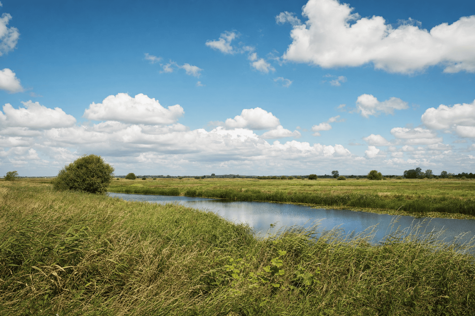
From Sainte-Mère-Église, the Cotentin and Bessin Marshes offer a peaceful counterpoint to the D-Day sites of remembrance. Wet meadows, ditches, canals, reed beds, and hedgerows create a living landscape that is especially easy to appreciate around Ponts d’Ouve, in Saint-Côme-du-Mont, part of the municipality of Carentan-les-Marais. This gateway makes it possible to observe birds, understand how a wetland functions, and discover the hedgerow landscape that shaped the fighting in 1944. A half-day is enough for the Ponts d’Ouve area; a full day or two days allows you to add Sainte-Mère-Église, La Fière, Utah Beach, and Carentan. A car remains the most practical option, while Carentan-les-Marais train station requires a solution for the final leg.
Practical information
Check the park’s official information before your visit to confirm visitor services, activities, and trail conditions. Bring waterproof shoes, binoculars, and protection from the wind.
Getting to Sainte-Mère-Église from Paris
Booking Paris Transfer can arrange private transportation from Paris, the Île-de-France region, CDG, or ORY to Sainte-Mère-Église and destinations across the Cotentin. The service covers transportation only, with no admission ticket or local guided tour included. It may suit an itinerary combining the marshes, the Airborne Museum, and Utah Beach, with a return to Paris.
Departure is possible from Paris, the Île-de-France region, CDG, or ORY; the return to Paris can be arranged based on your itinerary and length of stay.
A landscape shaped by water and hedgerows
The Cotentin and Bessin Marshes form a vast wetland area organized around several river valleys, particularly those of the Douve, Taute, Vire, and Aure. As you leave Sainte-Mère-Église toward Carentan-les-Marais, the hedgerow landscape of the Plain gradually gives way to more open meadows divided by ditches, canals, and waterways. Hedgerows, embankments, and water-management structures shape the fields and make it possible to maintain farming in a region where water remains ever-present.
The blanchie, or seasonal flooding, is the most spectacular phenomenon. During wet periods, rainfall and rising water levels can cover the meadows and transform the marsh into a vast mirror. In summer, these areas may become pasture or hay meadows again. The landscape therefore changes with the weather, water levels, farming practices, and seasons. Stay on authorized routes, close gates behind you, and respect crops, animals, and private property.
Getting to Ponts d’Ouve from Sainte-Mère-Église
Les Ponts d’Ouve se trouvent à Saint-Côme-du-Mont, aujourd’hui rattaché à la commune de Carentan-les-Marais. Depuis le centre de Sainte-Mère-Église, l’itinéraire passe généralement par la direction de Carentan, puis par Saint-Côme-du-Mont. La distance routière est courte, mais la durée dépend du parcours, des travaux, des déviations, de la circulation agricole et des événements commémoratifs autour du 6 juin. Une navigation actualisée reste préférable.
Carentan-les-Marais train station is the most convenient rail gateway for train travel. It serves regional trains and longer-distance services depending on the rail schedule; check timetables and connections for your travel dates. Ponts d’Ouve is not immediately close to the station, so consider a taxi, bicycle, rental car, or transportation booked in advance. Local services may be less frequent in the off-season.
Caen-Carpiquet and Cherbourg-Manche may serve as arrival points for some travelers, subject to available flights. You will then need to continue by road to the Cotentin.
Ponts d’Ouve: an accessible introduction
The Ponts d’Ouve area is an excellent starting point for understanding the marshes without beginning with a long hike. The facilities provide access to a variety of habitats: wet meadows, ditches, reed beds, ponds, and grazed areas. Observation platforms offer unobstructed views across the open landscape and allow you to watch wildlife without entering agricultural fields.
The Maison du Parc complements the visit with information about hydrology, biodiversity, agriculture, and the area’s history. Visitor services, exhibitions, activities, and any amenities offered may vary by season. Check the official information before you go, particularly in winter, on public holidays, or when traveling with young children.
Allow about two hours to explore the area at a relaxed pace, read the signs, and use the observation platforms. After rain, mud and puddles may make some sections more difficult. Visitors using a stroller or wheelchair should check the accessibility of the specific route rather than relying on a general description of the site.
Walking and cycling in the Cotentin
The park can be explored on foot or by bicycle, but conditions vary considerably by route. Distinguish between the developed paths around visitor sites and the small roads and country lanes linking the villages. An up-to-date map will show the starting point, distance, surface, signage, and any detours. Routes may be enjoyable without being suitable for every ability level.
By bicycle, the hedgerow roads offer a gradual way to discover the hedges, farms, and wetlands. However, they are shared with vehicles and bordered by ditches that can be quite deep. On foot, waterproof shoes are useful after rainy periods. An offline map, a fully charged battery, and water are recommended in rural areas where shops are spread out.
Guided outings, nature activities, or water-based experiences may be offered at certain times of year. They depend on the weather, water levels, providers, and reservations. Confirm the duration, difficulty, equipment, and exact meeting point with the organizer.
Birdwatching and discovering biodiversity
The marshes’ ecological richness comes from the diversity of their habitats. Flood-prone meadows, ponds, ditches, canals, reed beds, and hedgerows do not shelter the same species. Open areas attract waterbirds and meadow birds, while hedgerows and woodland edges provide refuge for more elusive wildlife. Migration, water levels, and the season influence what you see, without guaranteeing the presence of any particular species.
The observation platforms at Ponts d’Ouve let you keep your distance. Binoculars, a notebook, and a field guide are often more useful than bulky photography equipment. Move slowly, keep noise to a minimum, and do not enter private fields or marked areas. Do not feed the animals or try to drive them out of their refuge.
The park sometimes offers outings focused on birds, plants, or water management. These activities explain the connections between agriculture, water levels, and biodiversity. For a self-guided visit, mornings and late afternoons often provide pleasant light, while respecting access hours and the site’s peaceful atmosphere.
Connecting the marshes with the D-Day sites
The hedgerow landscape and marshes are essential to understanding D-Day and the weeks that followed June 6, 1944. Thick hedges, embankments, ditches, and meadows divided up the terrain and made military progress more difficult. In Sainte-Mère-Église, the stories associated with the paratroopers take on a tangible dimension when you see the narrow roads, enclosed fields, and waterways that still shape the area.
The Airborne Museum, in the heart of Sainte-Mère-Église, is the most immediate stop for learning about the area’s wartime history. La Fière, Utah Beach, and Carentan-les-Marais can round out the itinerary, but it is best to check museum hours and traffic conditions before adding too many stops. Visitor numbers are particularly high around ceremonies and during the week of June 6.
A well-balanced itinerary is to visit Sainte-Mère-Église in the morning and Ponts d’Ouve in the afternoon, or reverse the order depending on official opening hours. Over two days, add Utah Beach and the Baie des Veys. This schedule leaves time for museums, landscapes, and places of remembrance instead of reducing the day to a series of drives.
Where to stay, eat, and prepare for your visit
Sainte-Mère-Église is convenient for staying near the Airborne Museum and setting out early for the marshes. Carentan-les-Marais offers an additional choice of accommodations, shops, and restaurants, while the villages of the Cotentin mainly offer bed-and-breakfasts, vacation cottages, and local dining. Availability may decrease around D-Day commemorations: book well in advance and check directly what services are provided, along with parking and opening periods.
For meals, choose restaurants in Sainte-Mère-Église or central Carentan-les-Marais when you want to combine dining with sightseeing. Norman products, seafood, cheeses, and dishes made with local ingredients are a good fit for a stop in the Cotentin. Restaurant hours may vary by season; calling ahead is advisable, especially on Sundays, Mondays, or outside the summer season.
A two-night stay makes it easier to combine Ponts d’Ouve, the Airborne Museum, La Fière, and Utah Beach. It also avoids an overly compressed round trip from Paris and leaves some flexibility in case of rain or transportation changes.
Frequently Asked Questions
Which area should you visit first from Sainte-Mère-Église?
Can you get to Ponts d’Ouve without a car?
How much time should you allow to visit the marshes?
What can you see in the marshes?
Which accommodations should you choose for exploring the area?
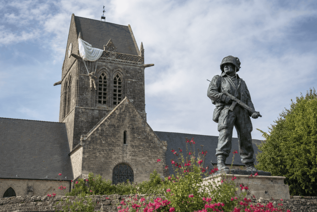 Sainte-Mère-Église Church and Paratrooper John Steele The steeple associated with John Steele, commemorative stained-glass windows, and the Airborne Museum make this a major stop…
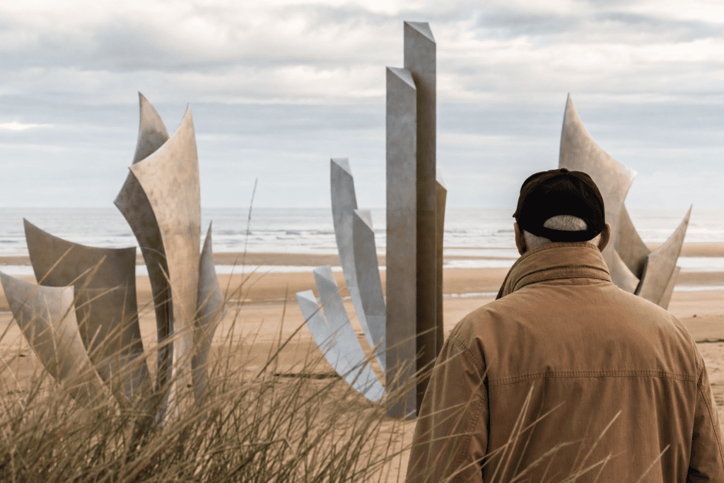 Utah Beach and the D-Day Museum Discover Utah Beach in Sainte-Marie-du-Mont: museum, beach, monuments, and markers along the Liberty Road…
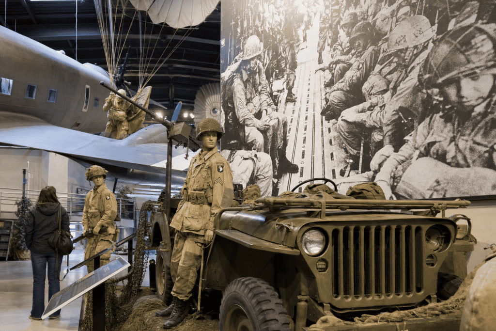 Airborne Museum A major D-Day museum dedicated to American paratroopers and the battles around Sainte-Mère-Église.
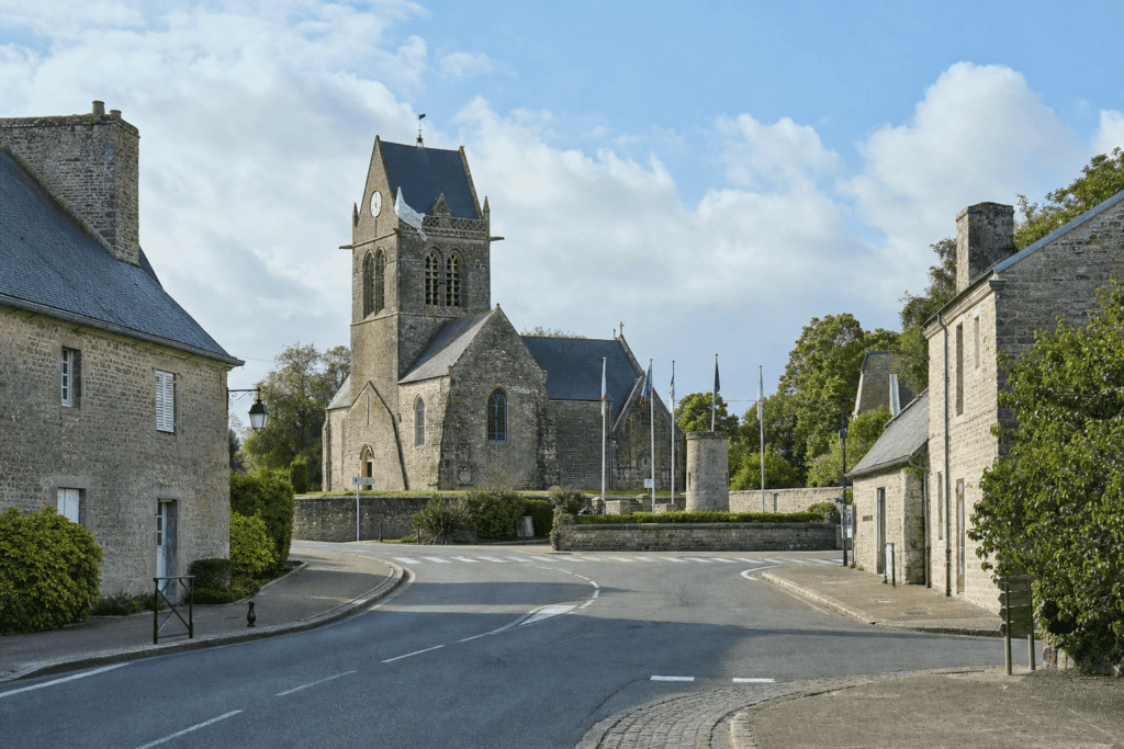 Getting to Sainte-Mère-Église from Carentan, Bayeux or Caen A practical guide to getting to Sainte-Mère-Église from Paris, Caen, Bayeux, Carentan, or Cherbourg and planning an…
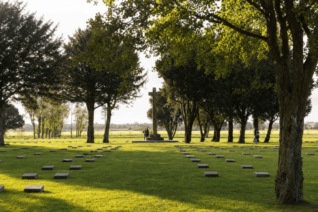 Orglandes German Military Cemetery A solemn German cemetery in the Cotentin, to combine with Sainte-Mère-Église, Utah Beach, and Carentan.
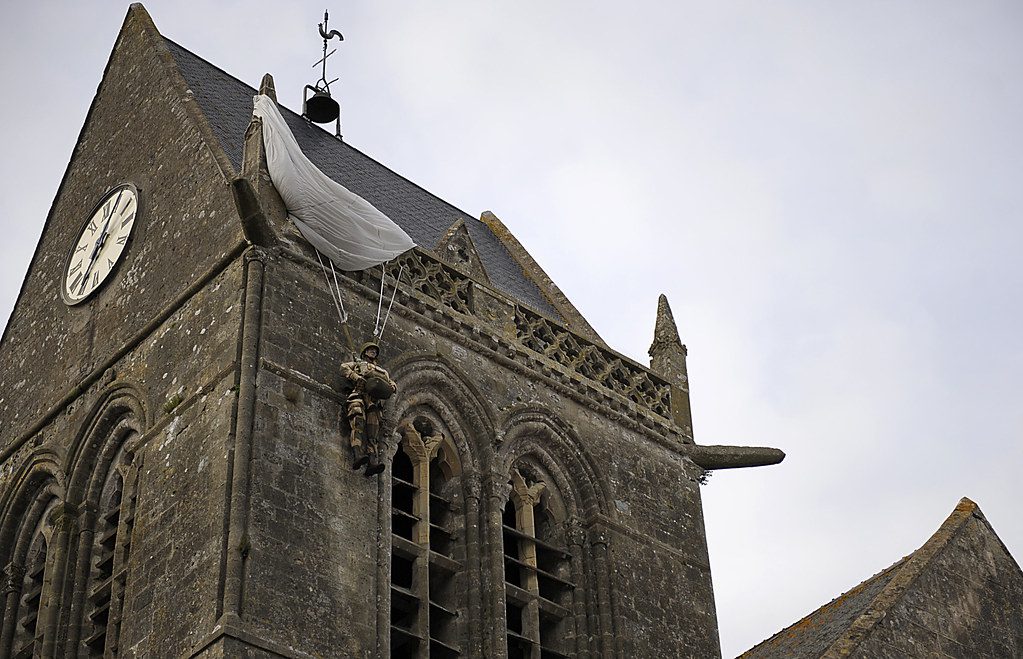 What to Do on the D-Day Beaches from Sainte-Mère-Église A one-day historical route between Sainte-Mère-Église, Azeville, and Utah Beach in the Cotentin.
Online booking · Paris → Ponts d’Ouve area, Saint-Côme-du-Mont, 50500 Carentan-les-Marais, Normandy, France
Choose your pickup date and time
Your departure and arrival details are already pre-filled. You can adjust them in the fare calculator before viewing the vehicles and fare.